Girl Scout LiDAR Patch
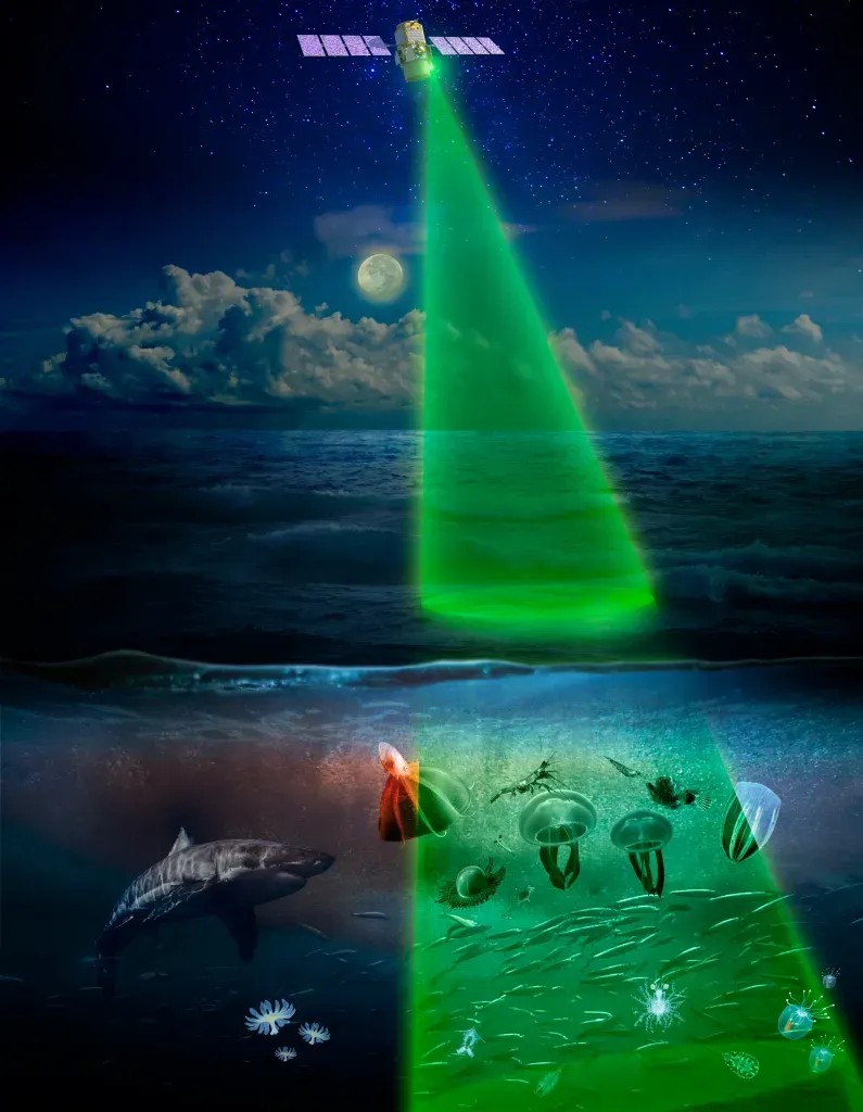
LiDAR (Light Detection and Ranging) uses laser light to measure distances and create detailed maps of surfaces. By calculating how long it takes for light to bounce back, scientists determine the height and shape of objects, which helps them map landscapes on Earth and explore other planets.
Get this badge about LiDAR. The patch is for age 11+ and the activity takes about one hour. It explains how scientists map the invisible world beneath clouds, ice, and forest canopies to understand the shape of our planet. The LiDAR activity guides scouts to use “laser-like” tools to map a hidden landscape, create a color-coded “laser” stick, measure the hidden landscape, record data and create a topographical map, and share their discoveries.
An activity sheet in PDF form is provided, and the patch can be purchased. Scientists use LiDAR to produce topographical maps that show elevation across forests, cities and other areas.
lidar, topographical map, elevation, forests, cities, ice, clouds, forest canopy, girl scouts, activity sheet