Simulate real-world places with Project Genie and Street View
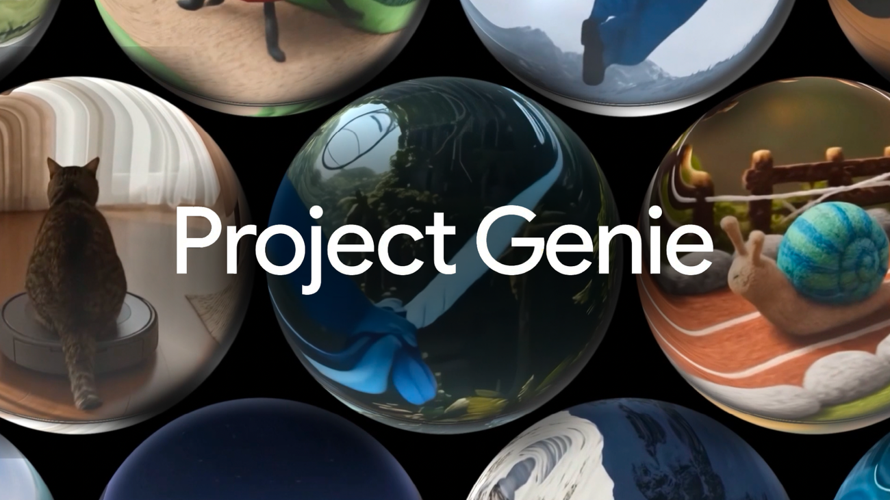
Genie is a general-purpose world model that generates diverse, interactive environments and has become a foundational tool for research, even helping Waymo simulate hyper-realistic road environments. The project now links Genie’s generative power with Street View imagery so models can anchor virtual environments in real places.
Street View grounding is launching within Project Genie, an experimental prototype. Users can tap the Maps pin to choose a place in the U.S., pick a style such as Desert Sands, Stone Age, Ocean World or B&W film, then describe a character and let Genie build an imaginative world tied to real Street View imagery using Maps Imagery Grounding.
Choose Ocean World to scuba dive with schools of fish around the Golden Gate Bridge, or select B&W film to see the Fort Worth Stockyards as a 1920s scene with saloons, vintage cars and trading posts. Street View imagery in Project Genie is available now for places in the U.S., with plans to expand to more places over time.
United States, San Francisco; Fort Worth
project genie, genie, street view, maps, imagery grounding, waymo, ocean world, golden gate, fort worth, virtual environments