Gravity Waves Observed Above Super Typhoon Sinlaku
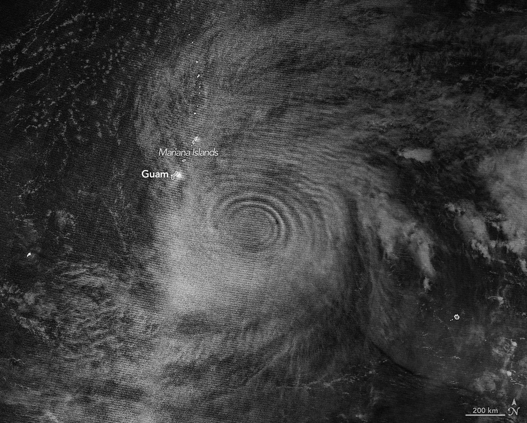
In mid-April 2026, Super Typhoon Sinlaku churned across the North Pacific and brought heavy rain and flooding to the Mariana Islands. It reached “violent typhoon” status—the Japan Meteorological Agency’s highest intensity, roughly equivalent to a category 5 on the Saffir-Simpson scale—and was one of only a handful of storms of that intensity so early in the year.
The cyclone rapidly intensified over the ocean before reaching land. Satellites captured the storm’s effects high in the atmosphere. A nighttime VIIRS image from the NOAA-20 satellite showed atmospheric gravity waves radiating from Sinlaku, made visible by mesospheric airglow.
Airglow arises when atoms and molecules excited by sunlight later emit light, and the release of latent heat near the storm’s eyewalls drives tall cumulonimbus “hot towers” that can send waves into the stratosphere and mesosphere. In the 24 hours before the VIIRS image, Sinlaku strengthened from category 2 to category 5.
sinlaku, mariana islands, north pacific, gravity waves, airglow, viirs, noaa-20, mesosphere, hot towers, rapid intensification